“Never since 1881 has the period from January to November in Germany been so warm as in 2022,” said DWD spokesman Uwe Kirsche in a statement on Wednesday.
The average temperature for the first eleven months of 2022 was 11.3C, according to the weather service in Offenbach. The previous high was set in 2020, at 11.1C for this period.
The temperature average for autumn alone was 10.8 degrees – an entire 2C degrees higher than it was between 1961 to 1990, which is used by meteorologists around the globe as a point of reference.
Clear indication of climate change
The period from January to October was already the warmest on record, with an average temperature of 11.8C. For meteorologists, autumn ends with November, whereas in calendar terms, it lasts until December 21st.
It is “a clear indication of climate change;” that the warmest October months of the last 140 years all fall in this millennium, said DWD.
READ ALSO: ‘A glimpse into our climate future’: Germany logs warmest October on record
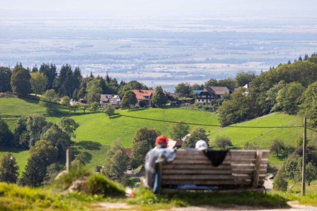
Autumn 2022 could have easily been mistaken for summer in some regions of Germany, it said. The mercury reached the highest in Kleve on the Lower Rhine on September 5th, where temperatures soared to a sizzling 32.3C.
Rainy regions
The mild weather extended into November, before temperatures took a dramatic dip in many parts of the country.
In the Oberharz am Brocken, the mercury dropped all the way to -11.6C on November 20th, the nationwide low for this autumn.
READ ALSO: Germany to see first snowfall after mild November
But despite the early warm spells, autumn was also “slightly wetter than average,” according to DWD. An average of around 205 liters of precipitation per squar metre fell across Germany.
That was about twelve percent more than in the reference period from 1961 to 1990. Compared to 1991 to 2020, the increase was about eight percent.
The Black Forest and the Alps received the most rainfall. Utzenfeld in the southern Black Forest had the highest daily precipitation in Germany with 86 litres per square meter on October 14th. In contrast, it remained very dry in the northeast.
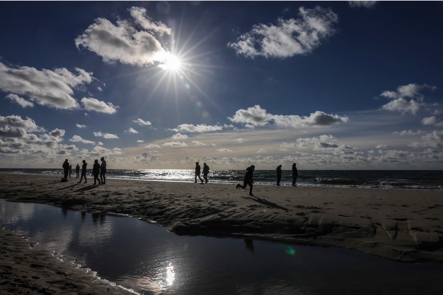
However, there were also a fair few bright, sunny days for people to enjoy. According to DWD, the sun shone for a good 370 hours this autumn – almost 20 percent more than in the period from 1961 to 1990 and 15 percent more than in the period from 1991 to 2020.
The North German Lowlands saw the most sun, with residents there getting a solid 400 hours of sunshine over autumn.
Temperatures to drop this week
Just in time for the start of the meteorological winter on December 1st, temperatures will drop significantly into the low negatives in many parts of the country.
On the weekend, there is a risk of permafrost in some regions of eastern Germany. The nights will also become increasingly frosty, with snow expected in many regions by the end of the week.
Roads are expected to turn icy, but with no major snowstorms, said DWD.
READ ALSO: Will Germany see more snow this winter?

Member comments