SHARE
COPY LINK

WEATHER

Storm Otto to batter western Sweden from Friday afternoon

Storm Otto is due to hit the west coast of Sweden on Friday afternoon, reaching its peak in the evening and night with winds of between 27 and 31 metres per second, just short of hurricane strength. 

Storm Otto to batter western Sweden from Friday afternoon
Storm Nora battering the coast of Skåne in February 2022. Photo: Johan Nilsson/TT

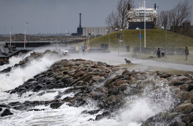
Swedish weather forecaster SMHI has issued an orange warning for northwest Skåne, southwest Kronoberg, western Halland and southwest Bohuslän, warning that buildings could be damaged, and trees blown down over roads and power lines. 

“There’s going to be about three to five hours when it will be at its absolute worst,” Therese Fogman, one of SMHI’s forecasters, told the TT newswire.

People living in western Sweden are being asked to tie down any loose objects in their gardens and to be careful when going outside. 

“You should be aware that there could be branches falling and objects blowing around in this wind,” Fogman said. 

Several train services in Skåne, Halland and Västra Götaland have been suspended on Friday and Saturday. SMHI is warning that buildings and forests could be damaged. 

All services are suspended between Helsingborg and Eslöv from 4pm, from Ystad to Simrishamn from 6pm, from Markaryd to Hässleholm from 8pm, and from Kristianstad to Karlskrona from 8.20pm. 

From 4pm, all train services between Uddevalla and Strömstad, Öxnered and Borås, Håkantorp and Gårdsjö, and Borås to Varberg.

Services will resume on all these lines from 12pm on Saturday. 

Member comments

Log in here to leave a comment.
Become a Member to leave a comment.

WEATHER

Swedish weather agency: Don’t drive if you have summer tyres

Sweden's weather agency SMHI warns of "extra difficult road conditions" today in central Svealand and Götaland, due to rain and snowfall.

Swedish weather agency: Don't drive if you have summer tyres

“It’s worrying that so many people have already switched to summer tyres,” SMHI’s on-duty meteorologist Linnea Rehn Wittskog told TT newswire. “In some areas there will be winter road conditions, meaning that, if possible, you should avoid heading out on the roads if you’ve already switched to summer tyres.”

Wednesday night’s yellow snowfall warning was still in place on Thursday morning in an area stretching from north of Örebro, down over areas surrounding the Vättern lake and further into Småland. In some areas there could be as much as 10 centimetres of snow.

A fair amount of snow had fallen by 11am on Thursday, and is expected to melt throughout the day as temperatures rise.

At the same time, the snowfall is expected to move southeast, turning into rain as it moves further south. Cold temperatures are expected from Thursday and moving into the weekend, with night frosts in many areas.

On Thursday night, more snow is expected in Östergötland and in Örebro and its surrounding areas.

SHOW COMMENTS