November has been relatively mild across most of the country so far, but forecasts indicate a weather system from the north will bring colder temperatures in the middle of next week – with some models predicting the country will be caught in the grip of a cold snap by the middle of next week.
Not so fast, Météo-France has warned, which is not yet ready to wheel out the ‘cold snap’ phrase – which has a very particular definition.
The change in weather comes as an anticyclone currently hovering over France moves away, allowing a cold air system to move down from the north.
For a ‘cold snap’ to be declared, there must be at least three consecutive days during which ‘temperatures remain clearly below seasonal norms’. According to Météo-France, conditions will not be cold enough for long enough next week to meet this standard.
In fact, cold snaps in France are increasingly rare. There were a grand total of 86 ‘cold snap’ days between 1995 and 2020, official records say. Meanwhile, the four longest and most severe cold spells in France were observed in February 1956, January 1963, January 1985 and January 1987.
Rather than a cold snap next week, Météo-France predicts little more than a dip in temperatures as the high-pressure anticyclone keeping France relatively warm begins to move away from Sunday, November 21st.
The northwest of the country will see the first change in conditions, as cooler air means temperatures will fall to an average high of 9C in the north, and 14C in the south of the country on Sunday and Monday.
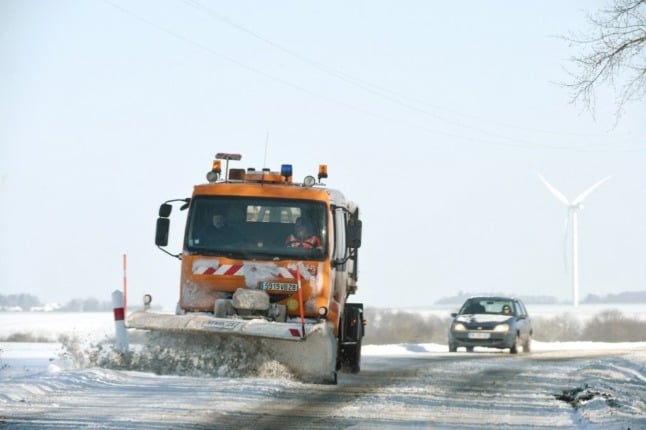
Morning frosts should be expected in the northern half of the country from Tuesday, November 23rd, with daytime highs reaching 8C in the north and 11C in the south. There may even be snow later in the week in lower-lying areas of the country – but even this is not unusual, the national forecaster has said.
“We have plenty of examples of snowfall at the end of November,” Météo-France forecaster Frédéric Nathan told franceinfo. “It does not happen every year, but it happens quite regularly, although they are less common because of global warming.”
But he said it was too soon to say for certain that next week will bring cold snap conditions. “All this is to be confirmed: we will begin to see more clearly from Monday.”
In higher altitude areas of the country, winter has already arrived, raising hopes for a successful winter holiday season – and the colder air is expected to bring more snow in mountainous areas. In parts of the Alps, officials have recorded up to 50cm of snow at altitudes of 1,800m, and as much as 1m above 2,200m.
❄ Il neige fortement sur les Alpes frontalières (retour d'est). Images de Molines-en-Queyras dans les Hautes-Alpes. ☃ (© Marie Jo Gadois) pic.twitter.com/svWNwEchX0
— Météo Express (@MeteoExpress) November 15, 2021
Meanwhile, between 20cm and 30cm of snow has fallen in parts of the popular Savoie and Haute-Savoie ski regions.
#Neige #RetourdEst
À Montgenèvre, j'ai mesuré en moyenne 35 cm à 1860m. Premières traces de neige vers 1600m, ambiance franchement hivernale au panneau d'entrée du village !
Encore quelques flocons ce soir. pic.twitter.com/5cM6Ihf3Rk— Gaétan Heymes (@GaetanHeymes) November 15, 2021
Meanwhile, although snowfalls have so far been more modest in the Pyrenees, hopes are also high there also for a successful ski season, with slopes scheduled to open from December 4th.
Member comments