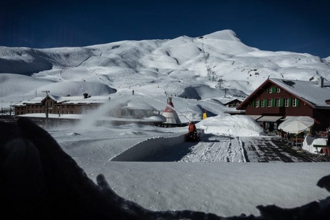
According to Nicolas Borgognon of Switzerland’s weather service Meteonews, “this first sign of winter is coming early and will be relatively long”, with half a metre of snow expected at the altitude of 2,000 metres and temperatures in some Alpine regions dipping below zero degrees.
“The dreary weekend we are going to experience is unusual. This is the first since 2002”, he added.
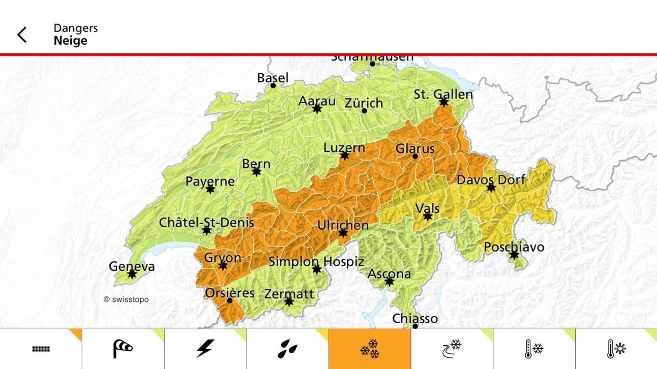
This map shows where in Switzerland snow is predicted. Graphics by Meteonews.ch
A cold front in some regions will be accompanied by strong gusts of wind and low temperatures in the night from Friday to Saturday, when the snow line is expected to drop to 1,000 meters.
This is a drastic change from just a week ago, when temperatures were in the 20s, after reaching tropical levels in July and August.
In fact, September has so far been the hottest month on record, Borgognon noted.
But Switzerland still may have its traditional ‘Indian summer’: after the cold snap is over, temperatures on the plain will be between 15 and 20 degrees, Borgognon said.
You can check your local weather forecast here.


Member comments