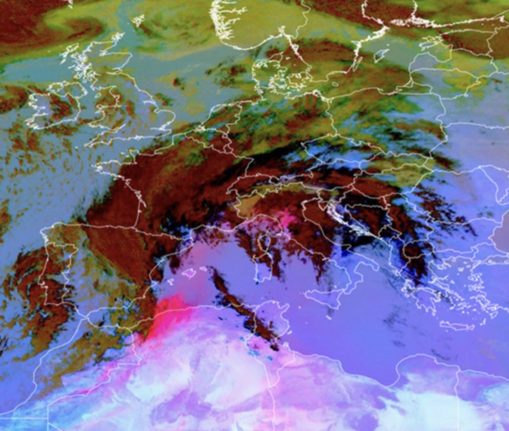
The phenomenon, which began in Switzerland on Friday, brings with it “a very clear worsening of sunlight and visibility. Added to that is an increase in concentrations of fine particles”, the MeteoSuisse weather service posted on X.
L'arrivée de #poussières du #Sahara entraîne une péjoration très nette de l'ensoleillement et de la visibilité. S'ajoute également une augmentation des concentrations de particules fines, comme le montrent les mesures de PM10 à Genève sur les derniers jours. pic.twitter.com/0JcjUyoptm
— MétéoSuisse (@meteosuisse) March 30, 2024
With the dust concentrated at lower than 3,000 metres (around 9,800 feet), air quality was especially affected, with Switzerland’s airCHeck monitoring application flagging high levels of pollution in a corridor stretching from the southwest to the northeast.
Calculations estimate that the amount of dust reached around 180,000 tonnes, double the levels recorded during recent similar events, SRF Meteo forecaster Roman Brogli told public radio.
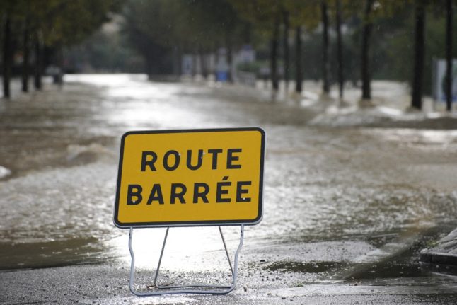
In neighbouring France, local authorities in the southeast and south announced that the air pollution threshold was breached on Saturday, with the Herault department asking residents to avoid intense physical effort, particularly those with heart or respiratory problems.
The Sahara desert releases 60 to 200 million tonnes of mineral dust per year. While the largest particles come rapidly back down to earth, the
smallest can travel thousands of kilometres.
The sand gives an orange tint to snow and can impact melting processes, notably for glaciers, which are shrinking as average temperatures rise, by reducing the ice’s ability to reflect sunlight.
The situation is due to improve in France and Switzerland on Sunday.
Member comments