SHARE
COPY LINK

WEATHER

Spring has arrived in Sweden! Officially, at least…

You may not believe us, but according to the meteorological definition, spring has reached southern and western Sweden.

Spring has arrived in Sweden! Officially, at least...
Vintergäck (winter aconites) in Malmö in early February. Photo: Johan Nilsson/TT

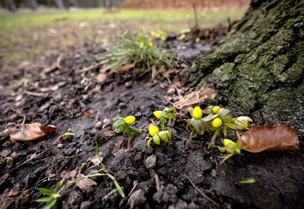
As of Wednesday evening, spring has officially arrived in Gothenburg, Malmö, Lund, Helsingborg, Halmstad, Visby, Karlskrona and Mariestad, according to Sweden’s national weather agency SMHI.

By their definition, it’s spring when average daytime temperatures stay above freezing for seven days in a row.

You then count backwards, so spring started on the first day of that week – meaning that the above towns were able to welcome spring as early as February 15th.

Sweden’s method of measuring seasons means not only that it can be several seasons on the same day in different parts of the country, but that some locations sometimes skip an entire season.

The long-term trend is for spring to arrive earlier and earlier as a result of climate change, but February 15th is formally the earliest date it can arrive. Before then it’s either winter or autumn.

Readers living in central or northern Sweden will have to wait a bit longer.

Spring normally reaches central Sweden by March and northern Sweden by April.

Member comments

Log in here to leave a comment.
Become a Member to leave a comment.

WEATHER

Swedish weather agency: Don’t drive if you have summer tyres

Sweden's weather agency SMHI warns of "extra difficult road conditions" today in central Svealand and Götaland, due to rain and snowfall.

Swedish weather agency: Don't drive if you have summer tyres

“It’s worrying that so many people have already switched to summer tyres,” SMHI’s on-duty meteorologist Linnea Rehn Wittskog told TT newswire. “In some areas there will be winter road conditions, meaning that, if possible, you should avoid heading out on the roads if you’ve already switched to summer tyres.”

Wednesday night’s yellow snowfall warning was still in place on Thursday morning in an area stretching from north of Örebro, down over areas surrounding the Vättern lake and further into Småland. In some areas there could be as much as 10 centimetres of snow.

A fair amount of snow had fallen by 11am on Thursday, and is expected to melt throughout the day as temperatures rise.

At the same time, the snowfall is expected to move southeast, turning into rain as it moves further south. Cold temperatures are expected from Thursday and moving into the weekend, with night frosts in many areas.

On Thursday night, more snow is expected in Östergötland and in Örebro and its surrounding areas.

SHOW COMMENTS