SHARE
COPY LINK

WEATHER

Rain and snow forecast for parts of central-southern Italy

Four Italian regions were placed under a 'yellow' weather alert on Friday, with heavy rains and snowfall expected in parts of the Centre-South.

Snow was forecast for high altitude areas of central Italy on Friday.
Snow was forecast for high altitude areas of central Italy on Friday. Photo by Luca Bettini / AFP.

Italy’s Civil Protection department issued the alerts for the central-eastern regions of Abruzzo and Molise and the southern regions of Calabria and Sicily on Thursday, warning of storms and a possible flood risk.

A yellow alert is a low-level risk warning, below a moderate ‘orange’ or high ‘red’ threat, but signals a possible danger to public safety and the risk that lives could be lost in unforeseen circumstances.

READ ALSO: EXPLAINED: What do Italy’s storm alerts mean?

The Marche, Umbria, Lazio, Abruzzo, Molise, Puglia, Campania, Basilicata, Calabria and Sicily regions also faced the possibility of gale-force winds from Friday morning, the department warned.

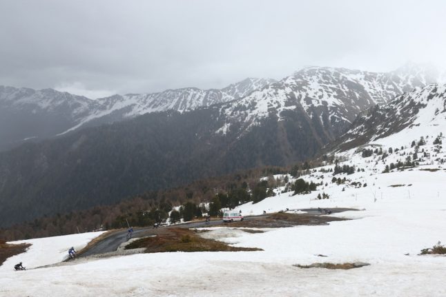
Snow was anticipated in high-altitude areas of the Apennines mountain range in Marche, Abruzzo and Molise, as the cold front was expected to lower the snow level.

Clear skies, by contrast, were forecast for northern alpine areas of the country, as well as in central regions away from the Adriatic coast, though temperatures were expected to drop across the country.

By the end of the weekend, however, the weather was set to change dramatically as a block of high pressure from northern Europe is expected to bring a ‘thermal swing’ to the Italian peninsula from Sunday afternoon.

Temperatures could rise as high as 10C above the seasonal average in the Alps, meteorologists said.

Member comments

Log in here to leave a comment.
Become a Member to leave a comment.

WEATHER

IN PICTURES: ‘Exceptional’ Sahara dust cloud hits Europe

An "exceptional" dust cloud from the Sahara is choking parts of Europe, the continent's climate monitor said on Monday, causing poor air quality and coating windows and cars in grime.

IN PICTURES: 'Exceptional' Sahara dust cloud hits Europe

Copernicus Atmosphere Monitoring Service said the latest plume, the third of its kind in recent weeks, was bringing hazy conditions to southern Europe and would sweep northward as far as Scandinavia.

Mark Parrington, senior scientist at Copernicus, said the latest event was related to a weather pattern that has brought warmer weather to parts of Europe in recent days.

“While it is not unusual for Saharan dust plumes to reach Europe, there has been an increase in the intensity and frequency of such episodes in recent years, which could be potentially attributed to changes in atmospheric circulation patterns,” he said.

This latest episode has caused air quality to deteriorate in several countries, Copernicus said.

The European Union’s safe threshold for concentrations of PM10 — coarser particles like sand and dust that that can irritate the nose and throat — has already been exceeded in some locations.

A picture taken on April 8, 2024 shows a rapeseed field under thick sand dust blown in from the Sahara, giving the sky a yellowish appearance near Daillens, western Switzerland. – An “exceptional” dust cloud from the Sahara is choking parts of Europe, the continent’s climate monitor said, causing poor air quality and coating windows and cars in grime. (Photo by Fabrice COFFRINI / AFP)

The worst affected was the Iberian Peninsula in Spain but lesser air pollution spikes were also recorded in parts of Switzerland, France and Germany.

READ ALSO:

Local authorities in southeastern and southern France announced that the air pollution threshold was breached on Saturday.

They advised residents to avoid intense physical activity, particularly those with heart or respiratory problems.

The dust outbreak was expected to reach Sweden, Finland and northwest Russia before ending on Tuesday with a shift in weather patterns, Copernicus said.

The Sahara emits between 60 and 200 million tonnes of fine dust every year, which can travel thousands of kilometres (miles), carried by winds and certain meteorological conditions.

The Spanish Canary Islands off the coast of northwest Africa saw just 12 days within a 90-day period from December to February where skies were free of Saharan dust, the local weather agency Aemet had reported.

SHOW COMMENTS