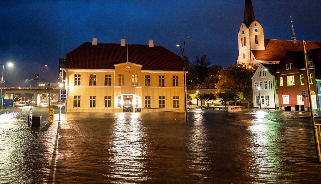
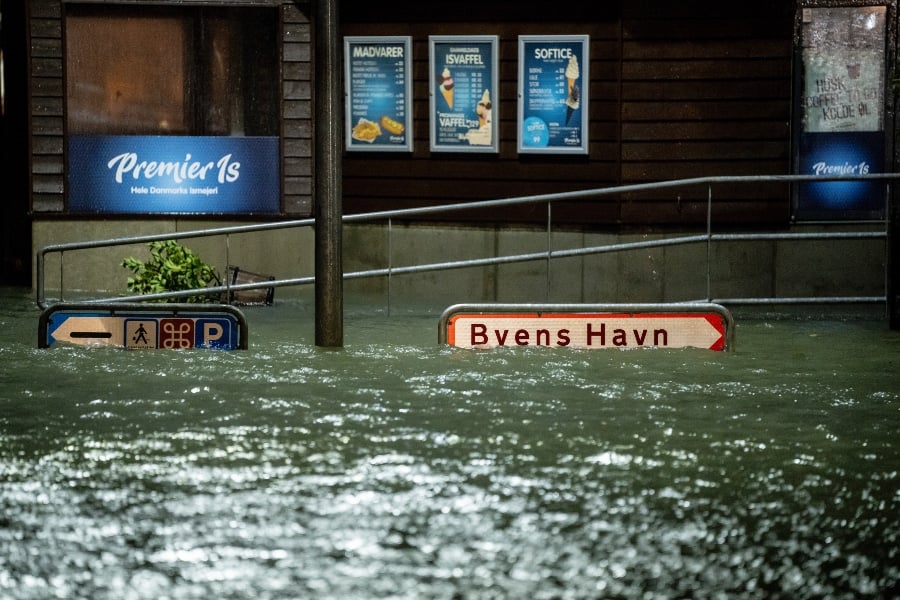
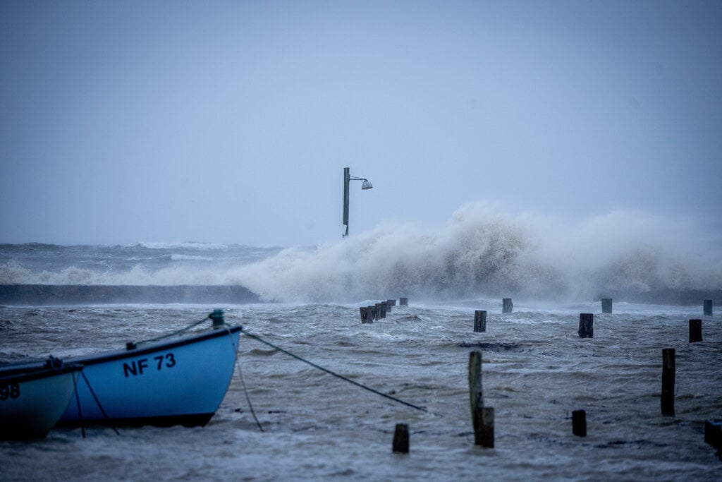
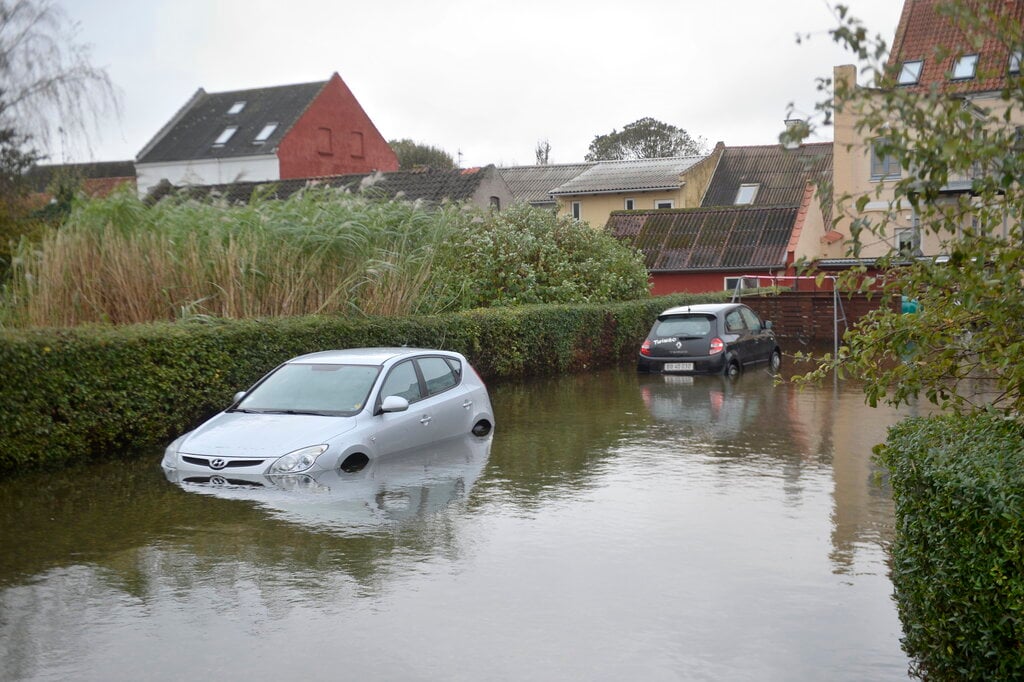
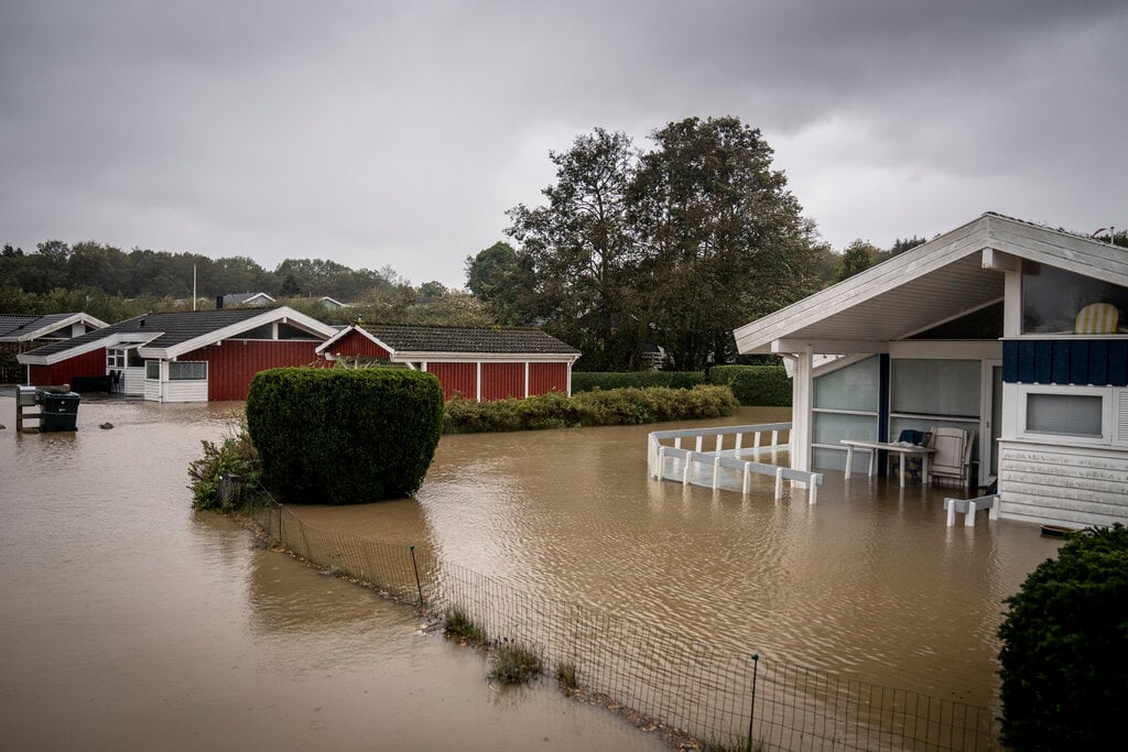
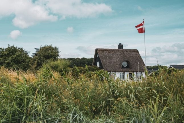
Denmark was hit by one of the worst storms in decades on Friday, with flooding disrupting travels plans and causing serious damage in some parts of the country. Certain towns and areas were even left without power.
The main feature of the storm was its so-called ‘storm surges’, which meteorologists have described as the worst the country has seen for 100 years. Transport across Denmark was disrupted by the bad weather on Friday, with conditions expected to continue to affect traffic into Saturday.
The National Geographic describes a storm surge as “a rise in sea level that occurs during tropical cyclones, intense storms also known as typhoons or hurricanes. The storms produce strong winds that push the water into shore, which can lead to flooding.”
National meteorological agency DMI has warned of critically high water levels from Friday morning until around noon on Saturday along southern sections of the East Jutland coast, off southern Funen, the south coast of Lolland, as well as and Falster and southeastern Zealand.
READ ALSO: EXPLAINER: What is a storm surge and why is Denmark experiencing a ‘once a century event’?
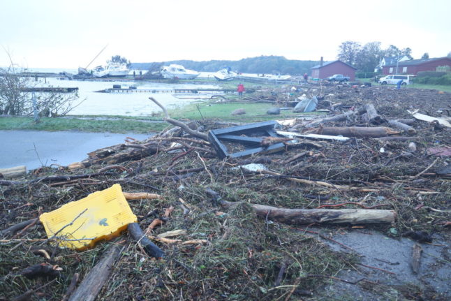
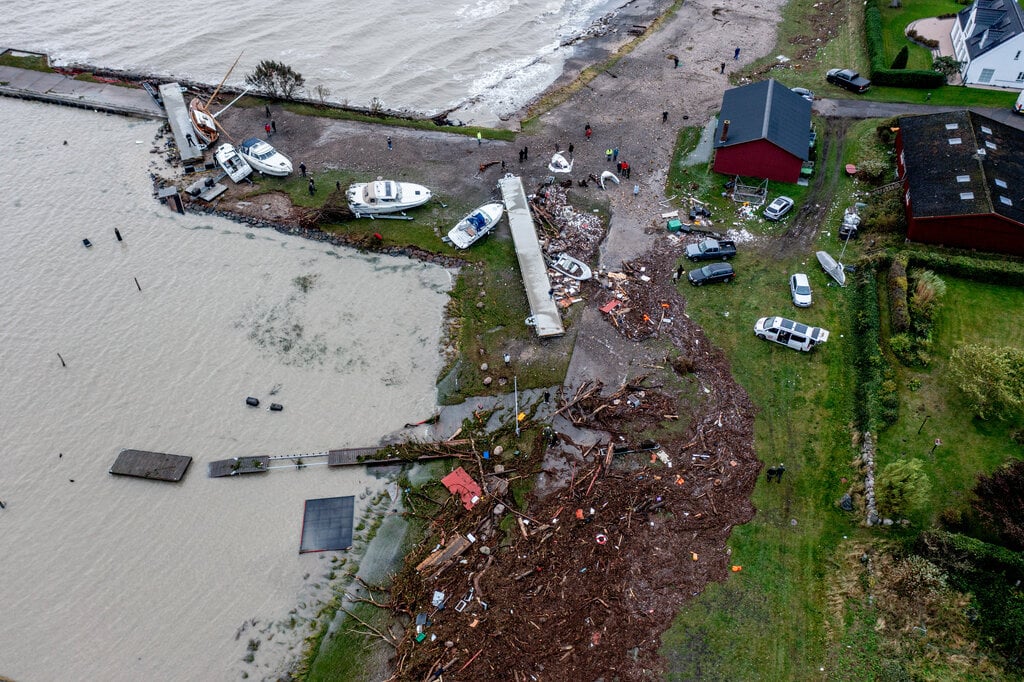
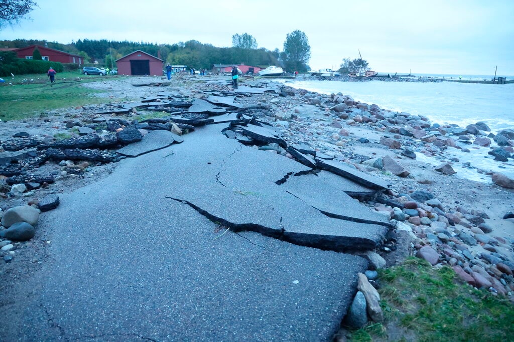
Emergency services are set for several days of clean-up in Southern Jutland, an area particularly badly hit by the storms conditions.
The storm brought water levels that are more than two meters above normal levels in several places in the country. In addition to Southern Jutland towns such as Aabenraa and Haderslev, Hesnæs in Falster is also heavily affected by the storm.
According to data from Denmark’s Meteorological Institute (DMI), water levels up to 2.39 meters above normal have been measured in Hesnæs. That measurement was made late Friday night.
Scandlines has resumed services between Rødby and Puttgarten on Saturday morning after the stormy conditions of the past few days forced the company to suspend traffic.
According to a company statement, however, services will resume on the route between Gedser and Rostock on Saturday morning.
Member comments