It’s been a hot few days in Switzerland, even among the thunderstorms.
On Wednesday, the mercury rose above 30C in most of the country except the south west around Zermatt.
Temperatures around 35C – even getting to 36 or 37C in some places – are expected in the coming days in Switzerland.
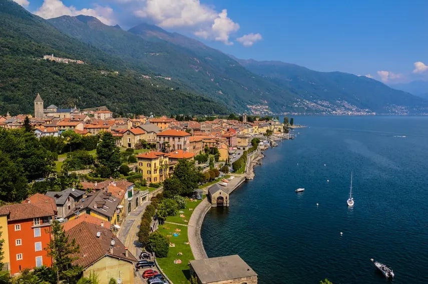
The Swiss government is warning of a possible level 3 (out of 5) heat warning for almost all of Switzerland below an altitude of 600 metres above sea level on Friday. In Ticino, a heat warning has been in effect since Sunday.
Here’s what we know so far.
How hot will it get – and how long will it last?
Highs between 30 and 35C are expected, SRF meteorologist Felix Blumer said. And it could get warmer locally, with the mercury expected to climb to 36C in Geneva on Friday.
The Jura valleys and north-western Switzerland may also have to deal with more intense heat.
“The high temperatures will remain until the middle of next week,” said Blumer. “It could also remain hot for longer. But for the second half of the week, the weather models still diverge significantly.”
How warm will the nights be?
The upcoming nights in most places will remain fairly mild between 15 and 19C, forecasters said.
At slightly higher altitudes, around 50 to 100 metres above the ground, it might not drop below 20C, which is known as a tropical night, said Blumer.
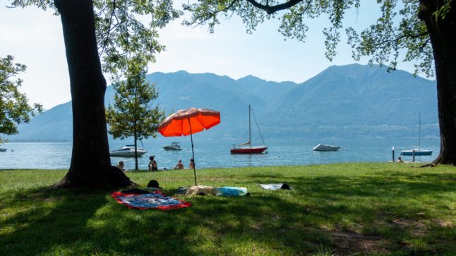
People in central and southern Ticino, as well as those on the eastern side of Lake Geneva, may have to reckon with tropical nights for a whole week.
How unusual are these temperatures for August?
The temperatures are well above average. The afternoon temperature in the Central Plateau (also known as the Swiss Plateau) area in August averages just under 25C, and in Ticino just under 27C.
However, it’s not super unusual for it to heat up significantly at this time of year. The highest temperature in August measured in Switzerland was on August 11th 2003 when the mercury hit 41.5C in Grono in Misox.
Meanwhile, on August 22nd 2011, 36.8C was measured in Sion, and last year it was 38.4C in Geneva on August 4th.
What do the hot days mean for people and the environment?
When it’s really hot and there are no storms to dampen the heat, the soil dries out, said Blumer, adding that extreme heat places stress on humans and animals.
“It is important for people to drink enough fluids,” he said.
Possible risks to people in heatwaves include circulatory problems and physical discomfort.
Meteo Schweiz recommends regular and sufficient consumption of fluids – ideally unsweetened. Direct sunlight should be avoided, and if you’re out in the sun, wear sunscreen, a hat and sunglasses.
READ ALSO: How to keep cool during Switzerland’s heatwaves
Will it be hot next month too?
Forecasters can’t yet predict how warm September will be.
However, meteorologist Blumer says that it could be warmer than usual because “large parts of the continent are overheated and sea temperatures are also in the record range in many places”.
However, he said that the situation can vary for individual places as seen earlier this summer.
“At the end of July and beginning of August it was cool in Switzerland, while many areas around the Mediterranean were suffering under a heatwave,” said Blumer.


Member comments