A red weather warning for flooding remains in place for parts of southern Norway on Monday and Tuesday.
Water levels have likely peaked in several places, but a risk of flooding remains in several areas, according to weather warning system Varsom. The red danger warning is in place at the Tyrifjorden lake. Other parts of the Drammensvassdraget, Norway’s third largest watercourse, remain at orange level.
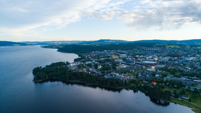
An orange level has also been put out for parts of the Glomma river and Mjøsa lake.
Even as water recedes, the risk of landslides will also remain, Ivar Berthling from the Norwegian Water Resources and Energy Directorate (NVE) told public broadcaster NRK on Monday.
“We have an ongoing situation. This means that even if the flume is on its way back, there is a lot of water in the waterway. When the water recedes, the risk of landslides may increase,” he said.
On Tuesday, more precipitation will arrive in the flood-affected areas. This could bring up water levels in the areas around the Glomma.
“We think this will extend the flood peak but is unlikely to be critical,” Berthling said.
Heavy rain is forecast, however the rainfall won’t be as severe as during Storm Hans.
“It won’t be as bad as it was under Hans in terms of the amount of rain that will come, but it will probably have consequences for the areas that have already been affected,” state meteorologist Eirin Walstad Ristesund told Norwegian newswire NTB.
Last week, almost 4,000 people were evacuated, and travel was heavily disrupted due to flooding and landslides in the wake of Storm Hans.
All main roads closed by the storms have reopened, with minor local diversions, and train traffic has begun to return to normal. However, parts of the Bergen line remain disrupted, and the Dovre line is closed.
Member comments