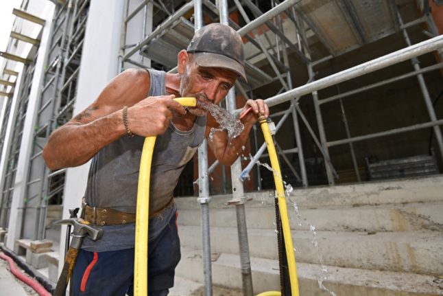
Five French départements, mostly located in the south-east of the country, were on ‘orange’ alert for high temperatures on Monday, and expected to remain that way until Tuesday as France faces an incoming heatwave.
The départements on ‘orange’ alert for heatwave as of Monday were Rhône, Ain, Haute-Savoie, Savoie, and Isère, where temperatures are expected to range between 34C and 37C.
Forecasters expect that high temperatures will spread across the country later in the week and particularly over the weekend, where temperatures near 40C in the Rhône valley and those near 35C in northern France could be possible.
🌡️ La région Rhône-Alpes est la plus touchée par la #canicule ces prochains jours. Les températures maximales vont demeurer à un niveau très élevé jusqu'au mardi 22 août. Dans le nord, la vague de chaleur devrait être moins longue et durer 3 à 4 jours, du vendredi 18 au lundi 21… pic.twitter.com/KZqGtWY3nn
— La Chaîne Météo (@lachainemeteo) August 13, 2023
Temperatures are expected to be hottest between Friday, August 18th and Monday, August 21st, when over 80 percent of the country could see the mercury rise above 30C, predicted to French meteorologist, Patrick Marlière to BFMTV.
According to La Chaîne Météo, average temperatures in the latter half of the week could be approximately 6C higher than seasonal averages.
READ MORE: Eat balanced meals and shut the shutters – French government advice for staying cool in a heatwave
L'indicateur thermique reflète bien la #vague_de_chaleur qui touchera le pays la semaine prochaine, notamment en 2ᵉ partie de semaine où les températures dépasseront de plus de 6°C les moyennes de saisons. La #chaleur se généralisera jeudi et devrait atteindre son pic le… pic.twitter.com/3kIZsz4I18
— La Chaîne Météo (@lachainemeteo) August 12, 2023
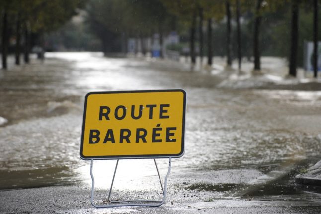
Several départements in France’s south west – Corrèze, Lot, Dordogne, Lot-et-Garonne, Tarn-et-Garonne – on Monday were also placed on ‘orange’ alert by Météo France for thunderstorms, which were expected to hit in the evening and continue into Tuesday.
🟠5 dpts en #VigilanceOrange #orages ⛈️
Plusieurs salves orageuses du Sud-Ouest au Nord-Est à partir de la fin de journée jusqu'en fin de nuit. Risque de stationnarité, de #grêle, et forts cumuls de #pluie.🌧️
Restez informés➡️https://t.co/h3so1yk2rI pic.twitter.com/JO9ZgErynn— VigiMétéoFrance (@VigiMeteoFrance) August 14, 2023
France’s national forecaster, Météo France, has explained the expected rise in temperatures as resulting from a warm air mass travelling up toward France from North Africa. In Morocco, the country’s weather service, DGM, recorded a first-ever temperature over 50C, with 50.4C recorded in Agadir.
Weather experts, such as Marlière expect the heatwave hitting France this week to be “significant, but not to result in record-breaking temperatures”.
READ MORE: 9 tips to keep your French home cool without using air conditioning
Member comments