SHARE
COPY LINK

WEATHER

Warnings in place as heavy snow continues in Sweden

Swedish weather forecaster SMHI has warned of further disruptions, as snow continues to fall over large parts of Sweden, in particular the southern part of the country.

A cyclist battling heavy snow in Stockholm, November 2022
The first proper snowfall of the year swept across southeastern Sweden over the weekend, including Stockholm, which affected travel plans. Photo: Janerik Henriksson / TT

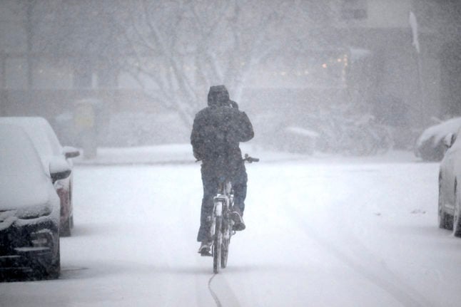
Swedish weather forecaster SMHI has extended its orange warning to the Stockholm area and Gotland.

In an orange warning, there is a risk of very limited accessibility on roads and public transport service delays and cancellations.

SMHI issued the orange warning over large parts of Stockholm on Sunday lunchtime. 

“It applies to heavy snowfall from tonight to tomorrow evening. It is uncertain exactly which area most snow will end up but there will be large amounts,” Therese Fougman, meteorologist at SMHI told Swedish newswire TT.

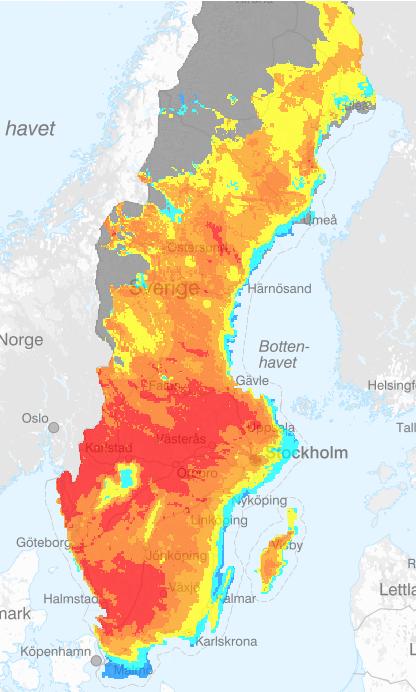
On Sunday morning, 14 centimetres of snow had fallen over central Stockholm, while in Holmbo west of Valdemarsvik, a snow depth of 21 centimetres was reported. In Småland’s Fagerhult and Orrefors, the snow depth was just over 20 centimetres. 

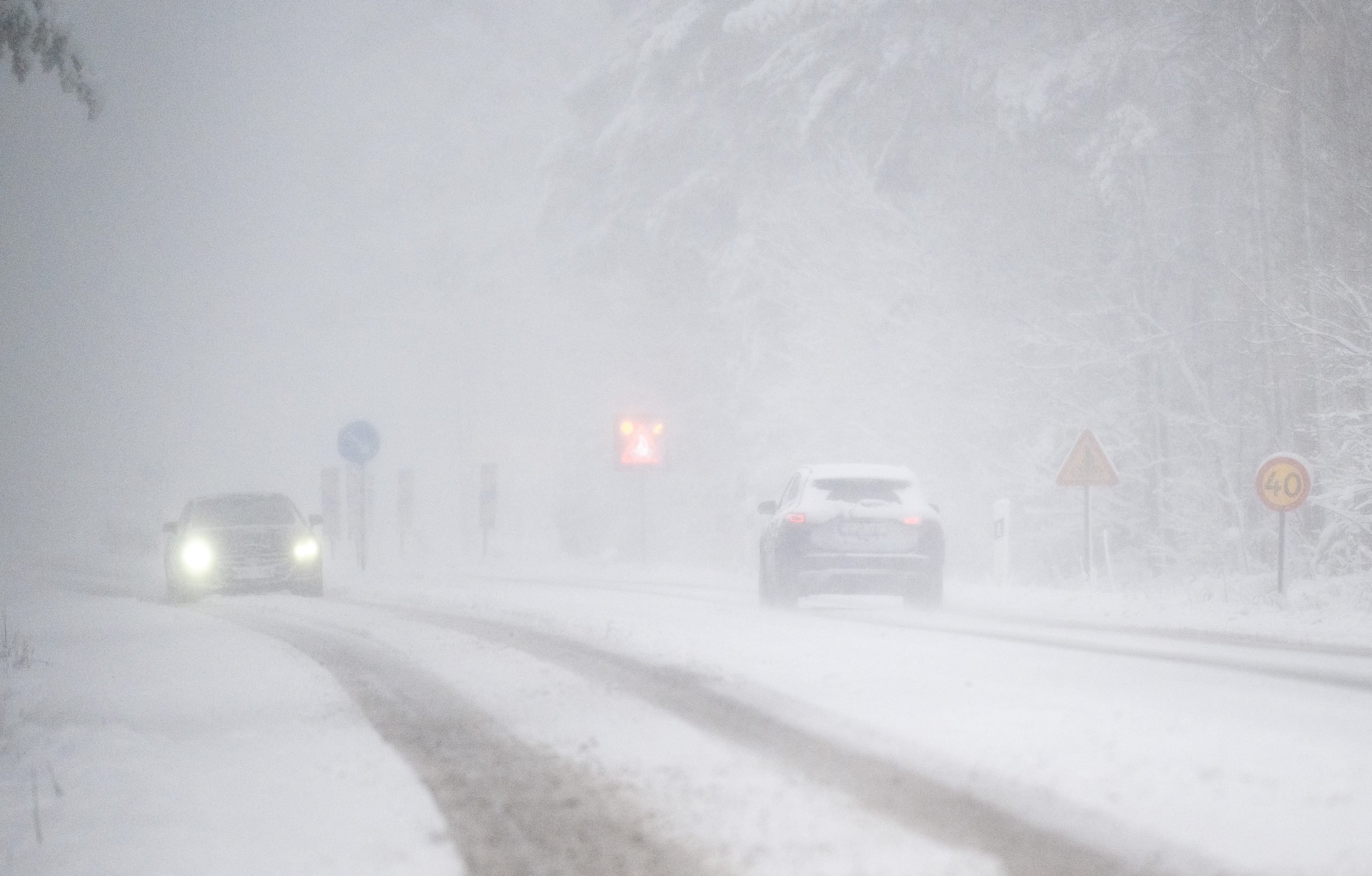
Public transport organisation SL (Storstockholms Lokaltrafik) has advised its travellers to be out in good time if travelling on Monday and to work from home if you’re able to.

SL warned that some services may be cancelled so to check travel services before heading out. On its website, it says that if your journey is delayed by more than 20 minutes, you can apply for compensation.

Traffic between Nybro and Vetlanda. The snowfall in south-eastern Sweden has resulted in an orange warning from SMHI. Photo: Suvad Mrkonjic / TT

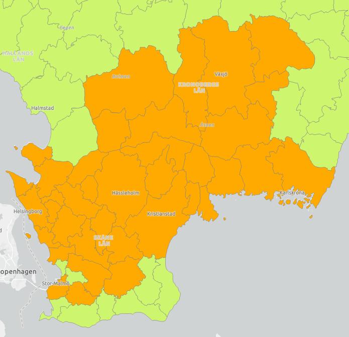
During Sunday afternoon, an orange warning for heavy snowfall was also issued over Gotland, which will continue into Monday. An orange warning had earlier been issued for south-eastern Skåne.

A dad lifts up her daughter to the binoculars as Sunday offered sun and snow in Sweden’s southernmost place, Smygehuk. Skåne has gone from summer to winter in one week.
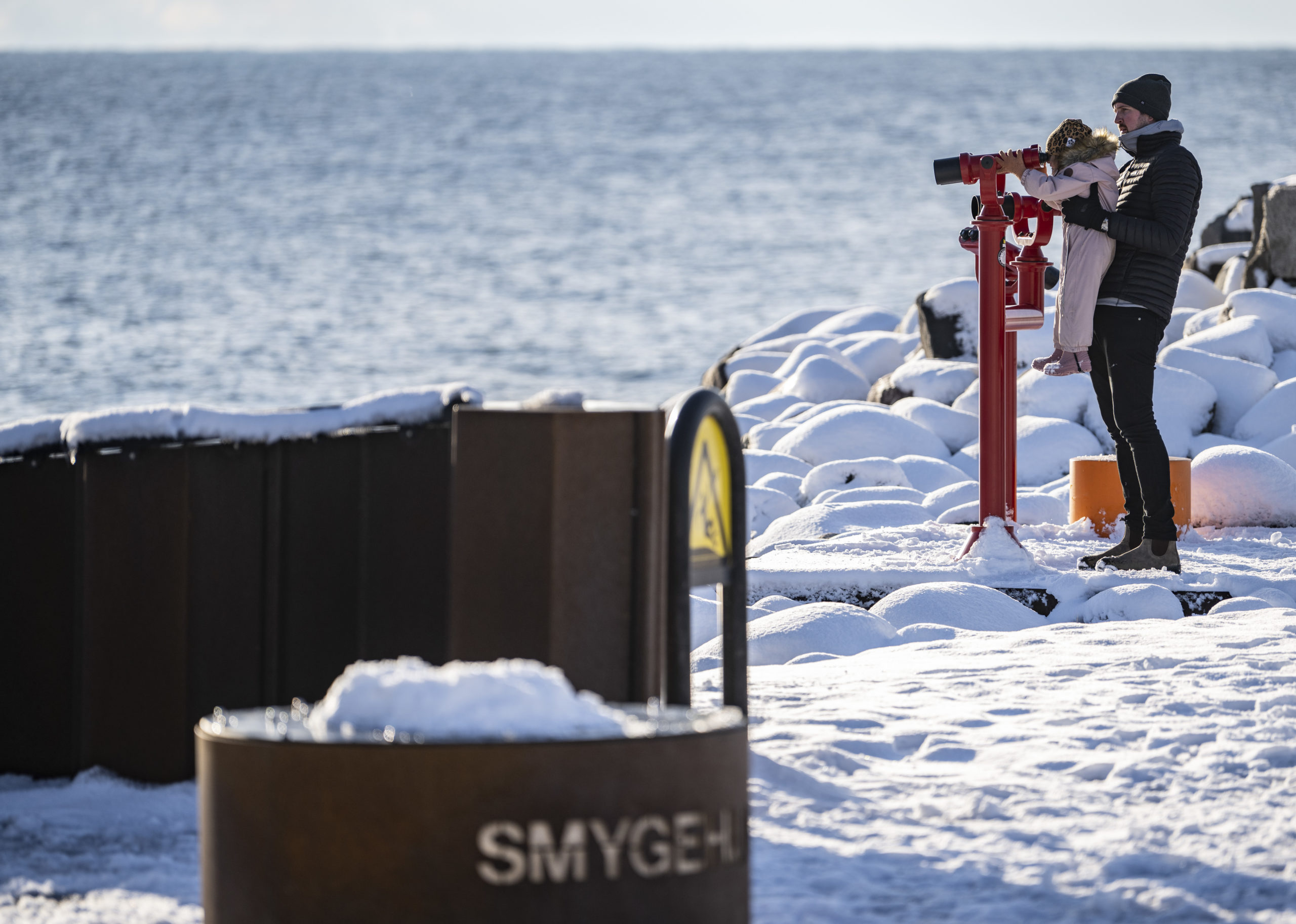
Photo: Johan Nilsson / TT /

Fougman told TT that there may be snow in the western part of Skåne from late this evening.

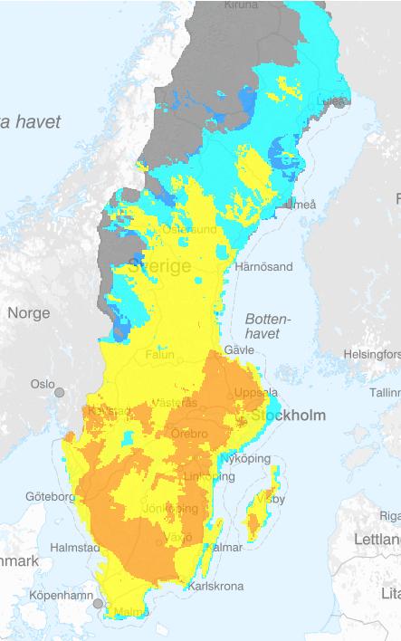
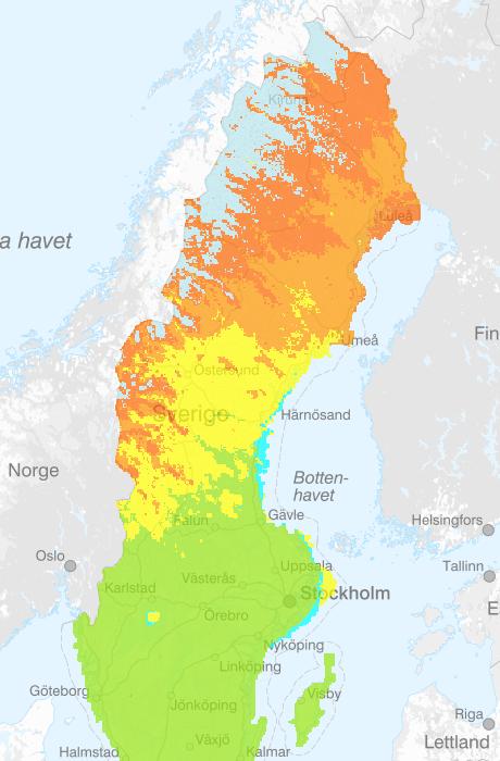
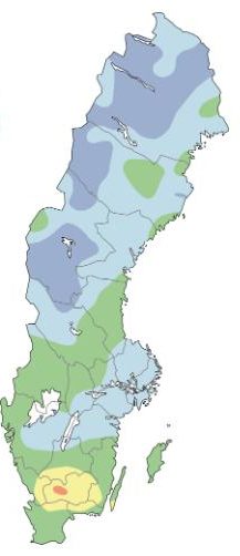
There are yellow warnings in place over Öland, Gotland, northern Kalmar county, Östergötland and Sörmland. Areas west of Lake Vättern – where heavier snowfall is expected during the evening – and west and south-west of Vänern are also under a yellow warning.

A yellow warning means that some public transport services and road traffic may be disrupted. 

Sweden has experienced an unusually mild autumn so far, with temperatures as high as 16.7 degrees only a week ago.

Swedish vocab: snö – snow

Member comments

Log in here to leave a comment.
Become a Member to leave a comment.
For members

WILDFIRES

IN MAPS: How big is the current wildfire risk in Sweden?

There's currently a risk of wildfires throughout almost all of Sweden, with the threat of forest fires in southern and central parts of the country, and grass fires in the north, forecaster SMHI has warned.

IN MAPS: How big is the current wildfire risk in Sweden?

How dry are Sweden’s forests?

On May 23rd, large areas south of Gävle were rated as “dry” in the map below, prepared by Sweden’s state-run surveyor Lantmäteriet for the state meteorologist SMHI and the Civil Contingencies Agency (MSB).

The map, captured just before noon on May 23rd, shows the bränsleuttorkning, or fuel dryness, an estimate of how much dry, burnable leaves and branches are on forest floors in Sweden. 

The colour code ranges from dark blue (very wet) to red (extremely dry). The dryest areas on this map, in orange, are listed as 4 on a six point scale (dry). Yellow areas are listed as 3 (moderately wet).

You can find an interactive version of the map here.

The assessment of the amount of dry wood in Sweden’s forests on May 23rd. Graphic: Lantmäteriet/SMHI

The surveyor also prepares a second map for SMHI and MSB showing the risk of forest fire assessed using the FWI (Fire Weather Index), an index created in Canada which combines measures of air humidity, temperature, 24-hour precipitation and wind speed. 

This shows that a lot of areas are already at an “extremely high risk of a forest fire” (red), a “very high risk” (dark orange) or “at risk” (orange). 

The Fire Weather Index map for Sweden on May 23rd. Graphic: Lantmäteriet

There is also a large or very large risk of grass fires on May 23rd in the north of Sweden, particularly north of Umeå and along the border with Norway. The green areas are where the grass fire season has already ended. Yellow areas have a “moderate risk”, light orange have a “high risk” and dark orange have a “very high risk” of grass fires. Light grey areas, which are mainly in mountain regions, are still covered in snow.

Grass fire risk for the afternoon of May 23rd. Graphic: Lantmäteriet

What measures are in place in Sweden?

Many municipalities in Skåne, Blekinge and Småland have already put fire bans in place, preventing people from lighting fires or barbecues outside. 

A map by Krisinformation.se (an official website which publishes emergency information from Swedish authorities), which can be found in English, shows which parts of Sweden have a fire ban in place, but it doesn’t go into specifics.

Below are the municipalities with fire bans in place on May 23rd – be aware that this may change, and always make sure to check Krisinformation.se’s website for the most up to date information before planning a barbecue or similar.

To find out exactly what applies in your area, click on your municipality on the map on Krisinformation.se’s website and then “more info”.

The link will take you to the homepage of whoever issued the fire ban, but it usually doesn’t take you directly to an explanation of what fire rules currently apply there, so you have to do a bit of digging.

Most municipalities and county administrative boards publish current fire bans quite prominently on their websites, though, sometimes as a banner at the top.

Some publish the information in English, but that’s far from always the case, so if you don’t speak Swedish you may have to run the text through a translation tool.

What other precautions can you take to avoid the risks?

Bear in mind that even if you do comply with local fire rules to the letter, you are always responsible for what happens to any fire you light, so you need to take proper precautions and be confident that there’s no risk of it spreading.

READ ALSO: EXPLAINED – What do Sweden’s fire bans mean?

Make sure the grill is set up on a flat surface away from any grass, trees, sheds or anything else that could catch fire easily. Keep a bucket of water nearby, never leave the fire unattended, and make sure it’s completely extinguished before you leave.

It’s worth also consulting weather agency SMHI’s map of the risk of wildfires, which is separate from the map of fire bans. If you live in an area where there’s currently a high risk of wildfires, be extra careful before lighting a fire, even if there aren’t any official bans in place.

You could also download the Swedish Civil Contingencies’ free app Brandrisk ute (“Fire Danger Outdoors”), which will give you up-to-date information in English on the risk of wildfires in your area. It’s available both for iPhone and Android.

Is there a risk of water shortages? 

In many parts of the northernmost half of the country, the opposite is the case – ground water levels in small watercourses across much of Sweden north of Gävle are high or unusually high compared to the average level in 1961 to 2023 (light green, green and dark green in map below). In central Sweden, they are high or relatively high, while they are at normal levels in the south, apart from the border between Halland and Småland, where they are relatively low.

Ground water levels in small watercourses are currently high or very high compared to the average level in 1961 to 2023 (light green, green and dark green in map to the left) in most of northern Sweden, at about normal levels (light blue) across most of central Sweden, and low in the south of Västra Götaland, Halland, Småland, parts of Blekinge and Skane. 

Groundwater levels in Sweden on May 21st, 2024, compared to the average for the period 1961-2023. Graphic: Geological Survey of Sweden

Comparing groundwater water levels to the same week in 1961 to 2023, it’s normal (green on the map below) above normal (light blue) or far above normal (dark blue) across the vast majority of the country, apart from a pocket in Småland, where it is below normal (yellow) or far below normal (red), so it doesn’t look like there is currently a risk of drought or water shortages.

Water levels in small watercourses on May 21st, 2024 compared with the same week in 1961-2023. Graphic: Geological Survey of Sweden
SHOW COMMENTS