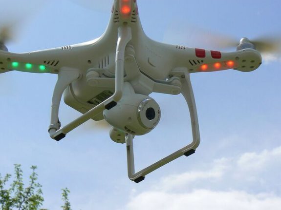
In a statement, the federal government said the new map was necessary since the number of remote-controlled aircraft in the country had greatly increased in the past few years, however people are not always aware of the dangers drones pose if operated near airports and aerodromes.
This year alone there have been two near-misses in the country, said the government, when airline pilots saw drones near their aircraft as they came in to land in Zurich and Basel respectively.
It is illegal to fly unmanned aircraft within at least 5km of an airfield. The interactive map will specify these restricted zones and other airspace obstacles, and tell people who to contact should they wish to seek authorization to operate a drone in a restricted area.
The map can also be accessed within the Swiss Map Mobile app, allowing users to harness the GPS on their phones to pinpoint the exact location of no-fly zones.


 Please whitelist us to continue reading.
Member comments