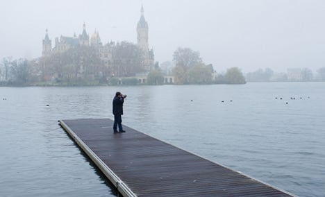
Wednesday morning will start with thick fog which is unlikely to show any no sign of shifting. Fine rain should dampen the north where temperatures are set to be between nine and 14 degrees Celsius.
North Rhine-Westphalia and Rhineland-Palatinate have the highest chance of seeing a little clear sky and are on track for the day’s highest temperatures – 18 degrees Celsius.
Click here for The Local’s weather forecast
But as night arrives, so should the clouds. With a thick layer covering even the sunnier western states, the whole of the country should be misted in a fine rain until the small hours. Temperatures should not be too cold though, sticking between lows of 10 and four degrees.
Thursday should be similarly murky and wet, with highs barely reaching 14 degrees. Luckily, the wind should be gentle.
Thoroughly wintery weather is due to arrive on Thursday night as the snowline falls to 600 metres. There could even be ground frost in northern cities – where temperatures are set to plummet to around freezing. In the south it should remain a little warmer though, between nine and six degrees.
Friday should bring steady rainfall to the south, and potentially snow. The north could be sunnier, this is likely to be punctuated with sleet, rain and even short thunderstorms.
Temperatures should be between six and 12 degrees, but in the south it could drop as low as zero even during the day.
By Friday night, memories of autumn will fade completely. Snow has been forecast for the southern states, primarily around the foothills of the Alps.
The north should continue to be hit with sleet as temperatures are forecast to hit as low as minus four degrees Celsius.
The Local/jcw


Member comments