The weather alerts are in place across eight regions for cold temperatures with Teruel in Aragon the only province with a red warning.
15/01 09:01 #AEMET #FMA nivel rojo por temp. min para hoy en Cast-La Mancha . . Imagen en vigor a las 09:01 (tabla actualizada haciendo CLIC EN LA IMAGEN), o visite https://t.co/aIJV7DDYto https://t.co/jequmeLcQF
— AEMET (@AEMET_Esp) January 15, 2021
Spain’s meteorological agency initially predicted that temperatures would begin to rise from Thursday but revised the forecast and extended the duration of the cold snap from four days to ten, making it the longest lasting period of prolonged freezing temperatures for twenty years.
?Nuevo #AvisoEspecialAEMET
Ampliada duración d #OlaDeFrío hasta miércoles 20
La situación anticiclonica junto con la cobertura nivosa q dejó la #borrascaFilomena, mantiene la masa de aire frío estacionaria, con?️anormalmente bajas e importantes #heladas
?https://t.co/cDsvUWZxFK pic.twitter.com/YRsWiA0SSl— AEMET (@AEMET_Esp) January 14, 2021
“The amount of snow on the ground is such that it is preventing the temperatures from rising as was expected,” Rubén del Campo spokesman from the weather agency explained on Thursday.
Banner ad
He explained that a change was not expected until next Wednesday when an Atlantic front arrives bringing warmer temperatures and a light wind.
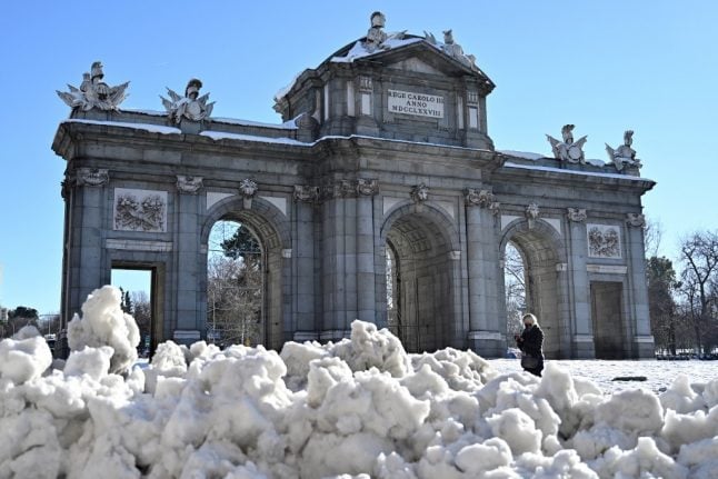
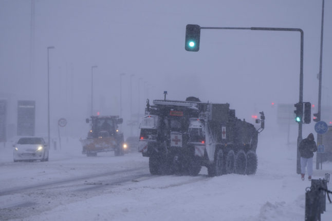
The freezing temperatures have complicated clean up operations in the wake of the Storm Filomena which dumped the heaviest snowfall across the country in half a century.
#Predicción de #temperaturas máximas y mínimas para #hoy y sus variaciones (2/2). https://t.co/nkt7p7WaxU pic.twitter.com/t6h2KX79pL
— AEMET (@AEMET_Esp) January 15, 2021
In Madrid, schools remain closed and many roads are still not cleared as snow turned into packed ice.
The early morning of Tuesday January 12 was “coldest since 1963” in the Community of Madrid and on Wednesday the coldest ever temperature was recorded in Madrid when a new low of -12ºC was registered in Getafe.
READ MORE:


 Please whitelist us to continue reading.
Member comments