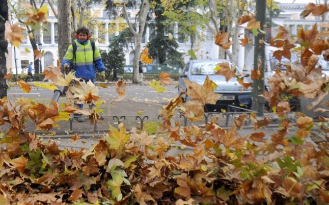
The season officially arrived on Tuesday September 22nd at 3:31pm with the autumn equinox and will last until the winter solstice on December 21st.
READ MORE:
- IN PICS: 15 photos that will get you excited about autumn in Spain
- 10 best Spanish tapas to enjoy when autumn sets in
So as the first rain of the season arrives in parts of the peninsula this week, Aemet looks ahead at what’s in store for the next 89 days and 20 hours of autumn.
Comienza el #otoño2020
El #otoñoastronómico se inicia al alcanzar la Tierra el #equinoccio de otoño, y es 1 d los 2 días dl año en q noche y día tienen = duración
En cambio el #otoñometeorológico corresponde al trimestre set-oct-nov#PredicciónEstacional?https://t.co/08vAFdidk3 pic.twitter.com/ikyPcvZnf5— AEMET (@AEMET_Esp) September 22, 2020
Based on modelling and probability data, Aemet suggests that temperatures will once again be slighter higher than average for the last quarter of the year across the whole of the peninsula and the Balearic Islands experiencing an average temperature rise of 0.6C.
After a summer that was recorded as the ninth hottest on record, it seems we are heading for an autumn with less rainfall than is typical this time of year, apart from the Canary Islands where an increase in rainfall is expected.
In some parts of Spain summer will be brought to an abrupt close this week with the arrival of storms, high winds and torrential rain especially along the northern coast and northeast of the country.
Hoy confluyen sobre la Península nubosidad asociada a frentes de muy distinto carácter, polar al N y subtropical al S. A partir de mañana, flujo del N que traerá un importante descenso de?️y las primeras?️importantes. El viento fuerte?️también será protagonista en muchas zonas. https://t.co/sHIfYSy0hU
— AEMET (@AEMET_Esp) September 24, 2020
Other parts of Spain however, notably the southern half of the peninsula will be enjoyingwhat the Spanish call a “veranillo de San Miguel” – when the warmer weather continues beyond the feast day of Saint Michael on September 29th.
This year some predict that we won’t be needing to pull out the long trousers and jumpers (that’s long pants and sweaters for American readers) until at least the first week of October.
READ MORE:

Member comments