SHARE
COPY LINK

WEATHER

Warm temperatures, light evenings on way to Denmark

It looks like spring has arrived – next week will see warm weather along with the return of lighter evenings.

Warm temperatures, light evenings on way to Denmark
Photo: Torben Christensen/Scanpix

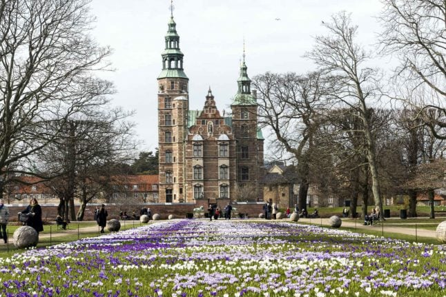
The end of March and beginning of April are likely to bring fair spring weather to Denmark.

Less rain and higher temperatures than normal can be expected over the coming weeks as stabile high pressure ensures a sunny start to spring, reports the Danish Meteorological Institute (DMI).

Clocks go forward to Danish summer time on Saturday night, meaning it will not get dark until nearly 8pm.

But the warmer weather and longer days will not mean constant sunshine, says DMI meteorologist Steen Hermansen.

“The price for the warmer weather is a few more clouds periodically. But this will hardly spoil the overall good feeling,” said Hermansen in a report on DMI’s website.

The meteorologist said that cool air that had been arriving over the country from the west will be replaced by high pressure.

“Gradually a warm front will build up from northern Germany over Poland to the Baltic. That will create a lot of space for the sun in many places with temperatures typically between five and ten degrees celsius (41-50°F),” he said.

Even warmer air will arrive from the west on Sunday, and Hermansen expects extensive high pressure from the North Sea to the continent to establish itself during next week.

“Very mild Atlantic air is flowing towards us. This means a fair amount of cloud or fog during the night and morning. However, daytime will bring a good chance of sun, especially away from coasts with onshore winds. And when the sun takes over, daytime temperatures can climb as high as a comfortable 15°C (59°F),” Hermansen said.


WEATHER

Denmark records deepest snow level for 13 years

Blizzards in Denmark this week have resulted in the greatest depth of snow measured in the country for 13 years.

Denmark records deepest snow level for 13 years

A half-metre of snow, measured at Hald near East Jutland town Randers, is the deepest to have occurred in Denmark since January 2011, national meteorological agency DMI said.

The measurement was taken by the weather agency at 8am on Thursday.

Around 20-30 centimetres of snow was on the ground across most of northern and eastern Jutland by Thursday, as blizzards peaked resulting in significant disruptions to traffic and transport.

A much greater volume of snow fell in 2011, however, when over 100 centimetres fell on Baltic Sea island Bornholm during a post-Christmas blizzard, which saw as much as 135 centimetres on Bornholm at the end of December 2010.

READ ALSO: Denmark’s January storms could be fourth extreme weather event in three months

With snowfall at its heaviest for over a decade, Wednesday saw a new rainfall record. The 59 millimetres which fell at Svendborg on the island of Funen was the most for a January day in Denmark since 1886. Some 9 weather stations across Funen and Bornholm measured over 50cm of rain.

DMI said that the severe weather now looks to have peaked.

“We do not expect any more weather records to be set in the next 24 hours. But we are looking at some very cold upcoming days,” DMI meteorologist and press spokesperson Herdis Damberg told news wire Ritzau.

SHOW COMMENTS