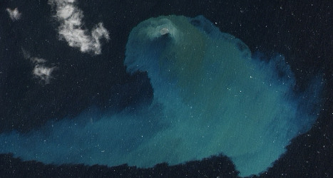
The image of the volcanic eruption shows a swirl of lighter blue sea off the south coast of the Canary chain's smallest and most most westerly island.
This striking picture took top spot in the Events category of NASA's Earth 2013, an internet poll where readers could select their favourite NASA satellite photo of the year.
In a competition structured as a series of duels between competing photos, 91 percent of internet voters chose the El Hierro eruption picture as the best photo in the final photo face off.
The other contender was an image of a crack in Antarctica’s Pine Island Glacier.
El Hierro experienced intense earthquake experience in 2011 and 2012 as part of volcanic activity just off the island's coast.
Submarine volcanic eruptions from October 2011 to March 2012 saw residents of La Restinga evacuated twice and dead fish were found in ocean waters.
The island has also recently experienced intense seismic activity in recent times.
A quake measuring 4.9 on the Richter scale rocked the island on March 31st, Spain's National Geographic Institute said.
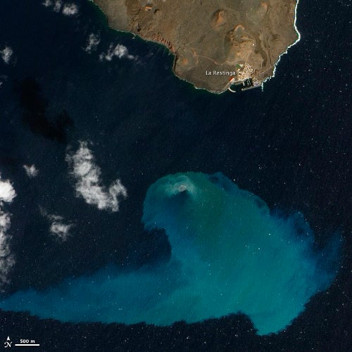
The full NASA image of the 2012 volcanic eruption off the coast of El Hierro. Photo: NASA's Earth Observatory
Member comments