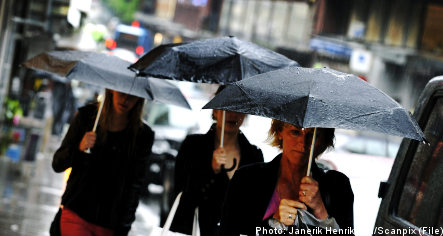
Residents in southern Sweden can expect thunderstorms late on Wednesday afternoon, with the unstable weather system moving north to central Sweden overnight.
Forecasters with Sweden’s meteorological agency SMHI predict some areas may receive as much as 70 millimetres of rain in the next 24 hours, with temperatures dipping to 15 to 17 degrees Celsius.
“Earlier this summer we’ve had heavy localized rainfall, but this is the first large, widespread area of rain to come in. We’re going to have major problems with flooding and water-filled cellars,” said TV4 meteorologist Anders Nylund to the Expressen newspaper.
The heaviest rainfall is expected across southeastern Sweden up through Södermanland, Västmanland and Hälsingland in central and eastern Sweden. Residents in Värmland and Dalarna in central and western Sweden, on the other hand, can expect normal amounts of rainfall.
The low-pressure system will also bring strong winds to Sweden’s eastern shoreline.
“The winds will start tonight and continue through Thursday. The strongest winds will be along the coast of Uppland, in the Stockholm archipelago and around Gotland,” SMHI meteorologist Sten Laurin told Expressen.
The weather is expected to clear at the weekend, with only isolated showers remaining.
Much of the country is expected to experience partly cloudy skies with temperatures between 17 and 22 degrees, although some traces of the unstable weather may persist through to early next week.
Member comments